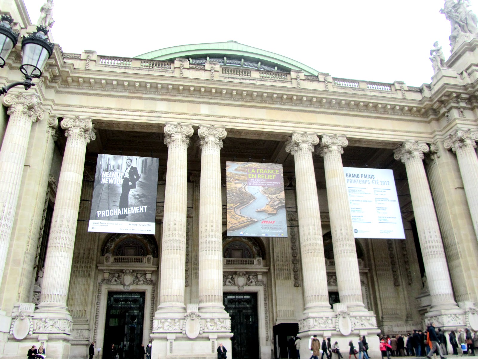
An exposition, France in Relief, finishes this week at the Grand Palace. Constructed in 1897 for the World's Fair in 1900, the palace is located on the Champs-Elysée in the 8th.
Un grand exposition, La France en Relief, finit cette semaine au Grand Palais. Construire en 1897 pour l'Exposition Universelle de 1900, le palais est située dans la Champs-Elysée, dans la huitième.

The style of the Grand Palace is very ornate with stone facades. The exposition is a collection of relief maps show Louis XIV's controlled territory during the Revolution.
Le style du Grand Palais est très orné avec les façades de pire. L'exposition est un collection des cartes en relief qui présentent les territoires qui ont été contrôlé par Louis XIV.

The maps were created with sifters to sprinkle the soil and other natural decorations.
Les cartes ont crée avec les tamis, pour saupoudrer la soie et les autres décoratifs naturels.


The relief map of Grenoble, made with wood, paper, soil, and metal between 1839 and 1848.
Le Plan-relief de Grenoble, construit avec le bois, le papier, le soie, et le métal de 1839 à 1848.


The relief map of Luxembourg was constructed between 1802 and 1805. Luxembourg, the stronghold of Spanish Netherlands was annexed by Louis XIV in 1684.
Le plan-relief de Luxembourg qui a été construit entre 1802 et 1805. Luxembourg, le place forte des Pays-bas espagnols, fut annexée par Louis XIV en 1684.
No comments:
Post a Comment